Main Focus
Lighting up the development of cartography from the perspective of the history of human civilization
Exploring the ten selected world maps
- Eratosthenes’ World Map, Ptolemaios’ World Map, Hereford Mappa Mundi, Fra Mauro Map, al-Idirisi’s World Map, Kangnido of Korea, Waldseemüller’s World Map, Mercator’s World Map, John Colomb’s British Empire Map, and Peters’ World Map.
Derivation of implications in education, geography education, and map education of the history of cartography
Class Setting
LMS (Learning Management System)
eTL at Seoul National University (SNU eTL)
- Lecture notes, materials, references, and etc.
Class homepage: https://sangillee.snu.ac.kr/classes/2024_1_Topics_Carto.html
Class Design
Classes are conducted in a combination of seminar and lecture.
Every class, two students present and two students have a designated discussion. Other students also actively participate in the discussion. After that, the instructor’s lecture will be followed to wrap up the subject of the week.
Student Responsibilities
Presentation and Discussion
Each student should participate as a presenter at least twice and as a discussant at least four times throughout the course.
The student’s presentation may be a presentation on a specific article or a rough explanation of a specific map. The presenter should give a presentation on the relevant content within 30 minutes, and the debaters should discuss the presentation (complementation, opinion, question, etc.).
Term Paper
- Each student should submit a term paper at the end of the semester.
Grading Method
Attendance (15%)
- Penalty will be given for each absence/lateness.
Presentation and Discussion (20%)
- Overall performance will be evaluated.
Term Paper (65%)
- A journal-article-type document should be submitted.
- Due date: 6/20/2024 (Thursday)
References
Books Translated into Korean
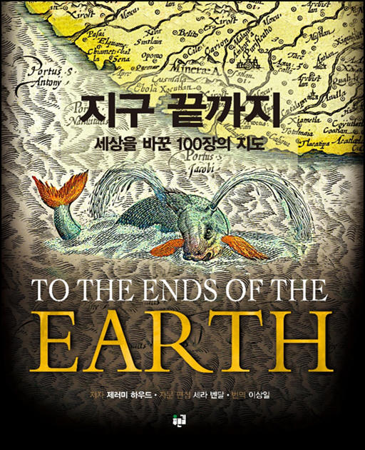
이상일 옮김, 2014, 지구 끝까지: 세상을 바꾼 100장의 지도, 서울: 푸른길. (Harwood, Jeremy, 2011, To the Ends of the Earth: 100 Maps that Changed the World, New York, N.Y.: Chartwell Books.)
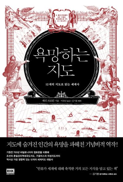
이창신 옮김, 2014, 욕망하는 지도: 12개의 지도로 읽는 세계사, 서울: 알에이치코리아. (Brotton, Jerry, 2012, A History of the World in 12 Maps, New York: Viking.)
김명남 옮김, 2015, 지도 위의 인문학: 지도 위에 그려진 인류 문명의 유쾌한 탐험, 파주: 다산북스. (Garfield, Simon. 2013. On the Map: A Mind-expanding Exploration of the Way the World Looks, New York, N.Y.: Gotham Books.)
유나영 옮김, 2021, 지도의 역사: 지도로 그려진 최초의 발자취부터 인공지능까지, 서울: 소소의책. (Swanston, Malcolm, and Alexander Swanston, 2019, How to Draw a Map, London: HarperCollinsPublishers.)
김요한 옮김, 2006, 세계 지도의 역사, 서울: 지식의숲. (Black, Jeremy, ed. 2005. Visions of the World: A History of Maps. London: Mitchell Beazley.)
김성은 옮김, 2007, 지도박물관: 역사상 가장 주목할 만한 지도 100가지, 서울: 웅진씽크빅.(Clark, John Owen Edward, and Jeremy Black, eds. 2005. Remarkable Maps: 100 Examples of How Cartography Defined, Changed and Stole the World. London: Conway Maritime Press.)
박홍경 옮김, 2016, 세상의 모든 지도 the MAP, 고양: 생각의집(Rooney, Anne. 2015. The Story of Maps: Putting the World in Perspective. London: Arcturus.)
송태욱 옮김, 2010, 세계 지도의 탄생, 파주: 알마(応地利明, 2007, 「世界地圖」の誕生, 東京: 日本経済新聞出版社).
Books in English
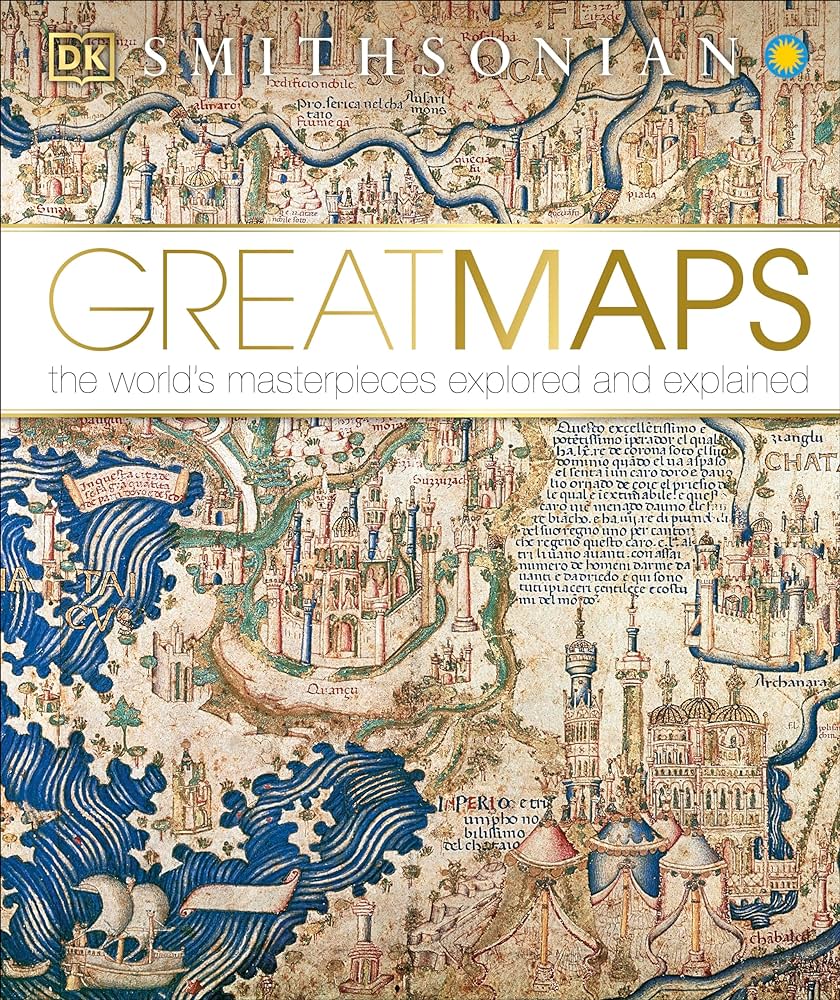
Brotton, Jerry. 2014. Great Maps: The World’s Masterpieces Explored and Explained. New York: Publishing.
Parker, Philip. 2023. To the Ends of the Earth: How the Greatest Maps Were Made. London: Ivy Press.
Thrower, Norman J. W. 2008. Maps and Civilization: Cartography in Culture and Society, Third Edition. University of Chicago Press.
Edney, Matthew H. 2019. Cartography: The Ideal and Its History. University of Chicago Press.
Berg, Thomas Reinertsen. 2018. Theater of the World: The Maps That Made History. Little Brown.
Riffenburgh, Beau. 2014. Mapping the World: The Story of Cartography. Carlton Books.
Riffenburgh, Beau. 2011. The Men Who Mapped the World: The Treasures of Cartography. London: Carlton Books.
Whitfield, Peter. 2010. The Image of the World: 20 Centuries of the World Maps. Updated ed. London: British Library.
Ehrenberg, Ralph E. 2006. Mapping the World: An Illustrated History of Cartography. Washington, DC: National Geographic Society.
Web Resources
The History of Cartography Project
All the volumes from the History of Cartography project are available in pdf format for free in the courtesy of the University of Chicago Press.
The first outcome of this massive project came out in 1987 and its final mission is coming to an end.
My Old Maps
Great works being done by a person who loves maps so much are freely available.
The person divides the history of cartography into four distinct eras: Antiquity (6,200 BCE - 600 CE), Early Medieval (400-1300), Late Medieval (1300-1490), and Renaissance (1490-1800).
In the website, there are more than 370 monographs for cartographic masterpieces and wonders which amount to almost 10,000 pages and constitute a collection of 14 books.
Video Materials
Maps: Power, Plunder and Possession
2010, BBC FOUR
Jerry Brotton, Robin Knox-Johnston, Ian Stewart
Links
Episode 1: Windows on the World
Episode 2: Spirit of the Age
Episode 3: Mapping the World
문명의 기억, 지도
Calendar
| Week | Date | Content | Readings |
|---|---|---|---|
| 1 | 3/7 | Orientation | |
| 2 | 3/14 | Maps and Civilization: Prologue | 지구 끝까지 |
| 3 | 3/21 | Eratosthenes’ World Map | Irby (2012) |
| 4 | 3/28 | Ptolemaios’ World Map | 욕망하는 지도, 1장 |
| 5 | 4/4 | Hereford Mappa Mundi | 욕망하는 지도, 3장 |
| 6 | 4/11 | Fra Mauro Map | Edson (2007) |
| 7 | 4/18 | Break | |
| 8 | 4/25 | al-Idrisi’s World Map | 욕망하는 지도, 2장 |
| 9 | 5/2 | Kangnido of Korea | 욕망하는 지도, 4장 |
| 10 | 5/9 | Waldseemüller’s World Map | 욕망하는 지도, 5장 |
| 11 | 5/16 | Mercator’s World Map | 욕망하는 지도, 7장 |
| 12 | 5/23 | John Colomb’s British Empire Map | Biltcliffe (2005) |
| 13 | 5/30 | Peters’ World Map | 욕망하는 지도, 11장 |
| 14 | 6/6 | National Holiday (현충일) | |
| 15 | 6/13 | Maps and Civilization: Epilogue | 지구 끝까지 |
Articles for Presentation
Irby, Georgia L. 2012. “Mapping the World: Greek Initiatives from Homer to Eratosthenes.” in Talbert, J. A. ed. Ancient Perspectives: Maps and Their Place in Mesopotamia, Egypt, Greece, and Rome. Chicago: The University of Chicago Press: 81–107.
Edson, Evelyn. 2007. The World Map, 1300-1492: The Persistence of Tradition and Transformation. Baltimore: Johns Hopkins University Press. Chapter 6 Fra Mauro: The Debate on the Map: 141-164.
Biltcliffe, Pippa. 2005. “Walter Crane and the Imperial Federation Map Showing the Extent of the British Empire (1886).” Imago Mundi 57 (1): 63–69.


